At 3,046 m above sea level, Ky Quan San (also known as Bach Moc Luong Tu) has attracted an influx of tourists especially adventure lovers by its imposing and magnificent beauty.
Ky Quan San is the second-highest mountain in the northern province of Lao Cai (following Fansipan). Previously, it was a desolate peak used for cultivation by the Mong ethnic group. In recent years, Ky Quan San has become a well-known destination to go trekking as well as hunting clouds among numerous avid backpackers, according to VNExpress.

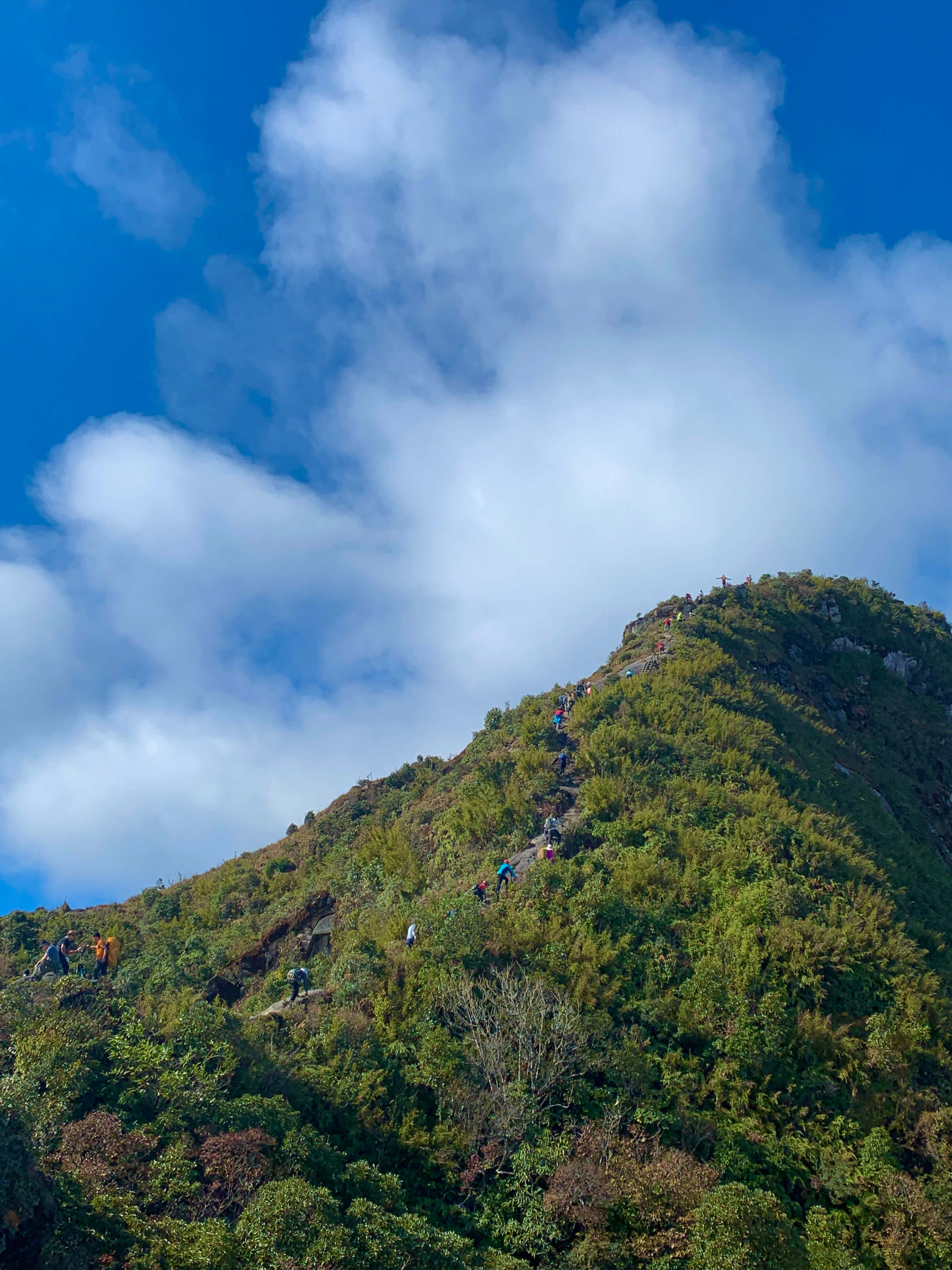
It takes 2-3 days for tourists to reach the peak. The easiest trekking path is starting from Sang Ma Sao commune, Bat Xat, Lao Cai.

Stepping on Ky Quan San Mount in June, visitors will have the opportunity to admire the glittering terraced fields of the Mong people, distinctive features of Northwestern mountainous regions. The glorious sunshine penetrating through the sea of clouds creates exquisitely picturesque natural beauty.

Embracing sunrise on Muoi Mountain is an immiscible experience for many travelers. Tourists will have the chance to capture in their eyes the boundless and majestic beauty of mountain chains, forests and traditional villages of ethnic minorities.

Standing amidst the immense space, enjoying the fresh air and hearing birds chirping certainly help visitors escape from the hustle and bustle of modern life.

The trail is dubbed as the most dangerous one on Ky Quan San. Many people feel heart-stopping but exciting when going on it.

A group of trekking enthusiasts takes photos on Ky Quan San Peak after a challenging journey. The climbers said because of the dense mist on the peak, so it is a little difficult for them to capture the best photos.